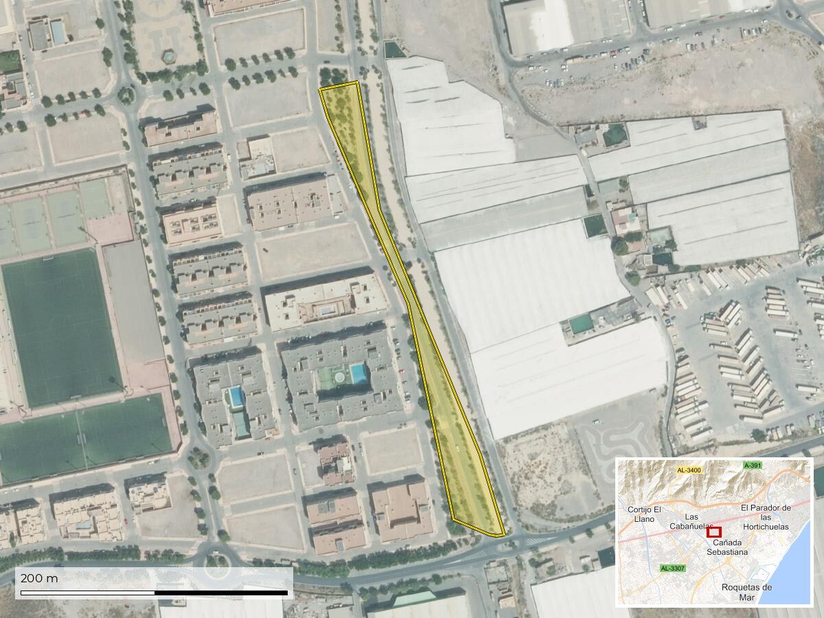
-
Superficie del terreno
-
6.340,68 m²
-
Estado de Conservación
-
No consta
-
Coordenadas UTM
-
No consta
-
Coordenadas Geográficas
-
36.7995036, -2.6276100
-
Lindero N
-
SECTOR S-2 Y 3-VG-C
-
Lindero S
-
CARRETERA IRYDA
-
Lindero E
-
LIMITE DEL SECTOR
-
Lindero O
-
AVD. DE LA HISPANIDAD
-
Descripción Física
-
PARCELA 21 DEL PROYECTO DE REPARCELACION DEL SECTOR S-4 APROBADO MEDIANTE RESOLUCION DE ALCALDIA DE 21/07/2003

 info@inventariomunicipal.es